 PH
PH
File size: 91.9 MB
TopoLT is a program offering tools for 2D and 3D aplications and functionalities useful for all those who design topographical or cadastral plans in digital format, who develop 3D terrain models and contours, fill and cut volumes calculation, raster image georeferencing and automatic printing.
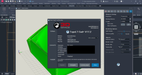
Screen :
What's New
Spoiler contents are visible only to Established Members.
HOMEPAGE
Code:
https://www.topolt.com/product/topolt/Buy Premium Account From My Download Links & Get Fastest Speed.
You do not have permission to view the full content of this post. Log in or register now.
You do not have permission to view the full content of this post. Log in or register now.
You do not have permission to view the full content of this post. Log in or register now.