 PH
PH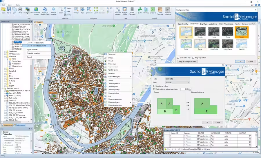
Opencartis Spatial Manager Desktop Professional 10.5.1.17951 Multilingual
File size: 276.03 MB
Key features
Read and write
Read and write spatial data using a wide range of file formats and spatial servers
Coordinate management
Calculate geometric transformations of the features in the import and export processes
Background maps
Choose from among a lot of dynamic Backgrounds Maps from providers such as Google Maps, OpenStreetMap, Bing, MapBox, Ordnance Survey, etc., or configure your own maps from TMS, WMS or WMTS servers
Google Earth publication
Export all or part of the elements in the visible Layers of the map and their data to a KML or KMZ file
Layer Management
Arrange your maps in Layers that can be fully managed by the application
Data management
Manage the alphanumeric data attached to the elements, design and edit the structure which will be used to store the data
Fields calculator
Calculate simple or complex E×ρréššions using operators and functions that can be applied to field values in a table and/or to constant values
Spatial analysis
Perform spatial analysis operations over the objects in the drawing or map generating new objects from such analysis
Location tools
Location and geo-coding tools help to add reference elements and enhanced data to existing objects
Geometry tools
A set of tools to edit and transform polylines, polygons, and other spatial geometries
Task & processes
Spatial Manager Desktop™ includes the ability to save Tasks that make it easy to run repetitive import and export processes
Multi language
Available in English, German, Spanish, French, Portuguese and more
You do not have permission to view the full content of this post. Log in or register now.